Having thru-hiked the Appalachian Trail in 2001 and then re-hiking the Carolina Tennessee border in 2004 I was looking for a section hike with a twist. So I decided to explore as many side trails as I could in Virginia (between Waynesboro and Peters Mt) and then hike the Allegheny Trail north to Blackwater Falls State Park. This is the journal from that hike.
May 8, 2005
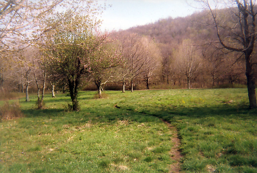
Humpback Rocks. I left the Inn at Afton with a sense of mission. I was determined to savor this part of the trail that had been lost to mileage-mania, thru-hiker soap opera and visions of all-you-can-eat pancakes at Weasie’s Kitchen during my thru-hike. Seize the day, smell the flowers, all that good stuff. Glass Hollow overlook was certainly a nice enough place, a good snack spot reasonably close to the trail but Humpback Rocks tested my new outlook. It was a steep 0.3 miles down to the rocks and rather awkward to manage with a backpack. There’s a good view but unless you’re brimming with energy, it’s probably best to leave it for the throngs of day-hikers who make the trip up from the Blue Ridge Parkway. As it was, my legs were not brimming with energy on the first day out and I ended up going another two miles before making camp just above the southern viewpoint of Humpback Mountain.

May 9, 2005
Mau-Har Trail. I had always heard that the Mau-Har Trail was tough but I had hoped that because I was going southbound and downhill that it wouldn’t be too bad. Sadly, it turned out to be every bit as difficult as described. The terrain was steep, the footway was very rough and there were some taxing upslopes even going southbound before it leveled off to meet the AT. It does cut off some mileage but you wind up paying for it.
Relieved to be back on the AT, I took a break to dip my feet in the Tye River before ascending the Priest. I was disappointed not to be in better shape. I struggled to make it to the Priest summit by sundown. I guess you tend to remember how your hikes ended rather than how they began.

May 10, 2005
Lovingston Spring Trail. The sign for the Lovingston Spring Trail was as clear as day right across from the side trail to the Seeley-Woodworth Shelter. And having missed the trail to Little Priest in the morning, it was certainly a welcome sight. Things had gone fairly well up to that point. I got a nice early morning view from one of the outlooks just off the trail on The Priest and had a nice chat with another hiker on Spy Rock.
The afternoon however, turned out to be a big fat headache. The Lovingston Trail was well blazed at the beginning, faintly blazed after a hard left turn and not blazed at all after the Trail to Yankee Horse Ridge. I managed to find my way to the summit of Rocky Mt but never did find the trail to the viewpoint amid all the communications gear. On top of all that, it was hot, the visibility was poor and I was pretty grumpy by the time I got back to the AT by way of Forest Service roads. Not even the open ridewalk on Cold Mt cheered me up. It was too hazy. I sheltered at Cow Camp Gap with a father and son from Florida.
May 11, 2005
No side trails today although I have day-hiked Pleasant Mt which is outstanding with sweeping views from Apple Orchard Mt to The Priest. Today was almost totally viewless except for a glimpse or two of the Lynchburg Reservoir since the AT has been relocated around Peddlar Dam . There were a couple showers before the long ascent to the Punchbowl. When I finally got to the Shelter there was an earnest group of students from Antioch College in Indiana and rather scornful Californian unimpressed with the mountains in the east. The Punchbowl was a complete cacophony of critters for most of the night but when it finally quieted down I was almost sure I heard footsteps...is that you Little Ottie?!
May 12, 2005
Little Rocky Row Trail. After the Lovingston Spring debacle it was good to have a nice surprise. There were good views from the summit of Bluff Mt as well as on the traverse around Silas Knob. And although the Little Rocky Row Trail is viewless with few blazes it was easy to follow and the woods walk along the ridge was a quiet, lightly travelled, unhurried trail with a magical quality to it. It was the kind of trail I was hoping for when I set out on my side-trail mission. I hitched a ride into Glasgow and spent the night.

May 13, 2005
Balcony Falls Trail. This is another one of those ‘I don’t know if I’d substitute it for the AT but it was fun to try’ trails. Once I persuaded the shuttle driver to take me there and figured out which set of blazes to follow (don’t follow the blue diamonds), things went fine. The farther up you go, the better it gets with a nice long view of Gunter Ridge which runs parallel to the Balcony Falls Trail separated by Hellgate Creek. There’s something industrial and hellish about this area despite it being protected as part of the James River Face Wilderness.
It was overcast and cooler today with excellent visibility and after rejoining the AT the trail through the James River Face was beautiful. It’s one of my favorite parts of the trail in Virginia weaving in and out of all the different mountains. I ended up at the Thunder Hill Shelter which I had all to myself. I celebrated by building a fire and burning a small hole in my shorts.

May 14, 2005
Flat Top Mountain. Native Americans believed that some mountains were not meant to be ascended. I don’t know how they felt about this one but in my case Flat Top seems to be one of those mountains that’s given me nothing but trouble. On a previous visit, I got all tangled up in the Peaks of Otter road system and never found the trailhead. On this trip, I heard sirens wailing for half an hour before I reached the northern trailhead and learned that someone had broken their ankle on the summit and needed to be rescued. I scored a free bottle of water from one of the rescue crews and headed up the mountain. The summit was shrouded in fog and the footing was so treacherous I could easily see how someone could break an ankle and felt lucky not to break my own. The thick cover of leaves made it difficult to judge what was already an uneven and rocky stretch of trail. I made it up and over and headed down to the Peaks of Otter Lodge. As I settled in for the roadwalk back to the AT along the Blue Ridge Parkway someone offered me a ride. I have to admit I felt kind of guilty. Although I’m not a purist I felt like I was getting off way too easy. I got back on the AT at Bearwallow Gap and hurried on to Bobblett’s Gap Shelter.

May 15, 2005
Daleville, Daleville, Daleville. What I had been so eager to criticize at the beginning of the trip is what I have now become, just another hiker with nothing but the comforts of town on the brain. No side trails. No grand thoughts. No stopping to smell the roses. Just a straight shot to the Best Western Hotel and a day of rest, restaraunts and resupply.
May 17, 2005
Andy Layne Trail/North Mountain Trail. After a very pleasant ascent to Scorched Earth Gap, it was a pretty steep descent on the Andy Layne trail to Catawba Creek. However, the creek and valley around it are exceptionally beautiful and a nice tribute to a beloved member of the Roanoke ATC. The North Mountain Trail starts across the road from the Andy Layne trailhead. It is lightly maintained but not hard to follow. However once I got up to the ridgecrest it was a series of endless ups and downs that just went on and on and on. When I finally came to a sign that said ‘water’ I didn’t even care that there wasn’t a
trail to the water source. I was happy just to get a break from the viewless monotony. Camping on the ridge was the only consolation since you can’t do that on the section of the AT that runs parallel.

May 18, 2005
North Mountain Trail (part duh). What was I thinking?! Either I was hoping to bypass one of the many ups and downs or I thought I was farther along the trail than I was but I took the first right turn that showed and paid the price. Better signage might have helped but I really have no one to blame but myself. Instead of bypassing another viewless summit I wound up descending via the Turkey Trail (how appropriate). I ended up going southeast on a Forest Service road for what seemed like forever before reascending North Mountain via the Deer Trail and then following the North Mt trail to Route 311. And as if that weren’t enough, I got to spend the afternoon beating my brains out on Cove Mt
before making camp half a mile above Trout Creek. If I wasn’t in shape before, I’m
definitely getting into shape now.

May 19, 2005
No side trails today. I had enough to deal with just going over Sinking Creek Mt and its long awkward traverses along the ridge. Thankfully the rainshowers hit before I was on the ridge and then again in the evening after I had pitched my new tarp tent
May 20, 2005
If I’d been a little more organized, I could have checked out the Potts Mountain Trail but at this point I’m looking ahead to the Allegheny Trail. Mostly I was glad that my tarp tent held up well during a night of heavy rain. Sinking Creek Valley was beautiful in the early morning mist and Wind Rock was the other highlight of the day. I was able to dry some of my gear during lunch at the War Spur Shelter and I had Bailey Gap Shelter to myself for the night.

No comments:
Post a Comment